Advanced Geophysical Mapping for Smarter Ground Insights
Advanced geophysical mapping uses modern technologies to analyze subsurface conditions with high accuracy and efficiency. It provides valuable insights into soil composition, rock structures, and hidden resources, enabling better planning and decision-making. This approach minimizes risks and reduces the need for costly excavation by delivering reliable data for a wide range of engineering and exploration projects
Electrical Resistivity Mapping
This technique evaluates variations in electrical properties of soil and rock formations over wide areas.
It enables accurate detection of groundwater zones, fault lines, and subsurface features.
Resistivity surveys are ideal for selecting optimal locations for water wells and boreholes.
We utilize state-of-the-art instruments to ensure high-quality data acquisition and analysis.
Our experienced professionals interpret results to provide clear and actionable reports.
The method is safe, non-destructive, and environmentally friendly.
We deliver dependable mapping services that enhance efficiency and support successful project outcomes.

Seismic Refraction Mapping
This method helps identify layer boundaries, rock formations, and soil characteristics with high accuracy.
It is commonly applied in civil engineering, construction, and site investigation projects.
Seismic refraction surveys assist in designing stable foundations and minimizing structural risks.
We employ advanced equipment to ensure reliable data collection and consistency in results.
Our skilled team analyzes the data to generate clear and practical subsurface interpretations.
The technique improves safety by detecting weak zones and hidden geological variations.
We offer accurate seismic mapping solutions to support efficient and secure project development.
Electromagnetic (EM) Mapping
Our Seismic Refraction Mapping services deliver precise subsurface insights through the analysis of seismic wave behavior.
This approach effectively maps soil layers, rock depth, and underground structures with reliable accuracy.
It is extensively used in infrastructure development, geotechnical studies, and engineering assessments.
Seismic surveys play a key role in ensuring strong and stable foundation design.
We use cutting-edge technology to capture accurate and high-resolution data.
Our experienced specialists interpret findings to produce clear and actionable reports.
This method enhances project safety by identifying potential ground instability and hidden risks.
We provide dependable seismic mapping solutions that support confident planning and execution.
Our Process To Work
4 simple steps — planned safely, delivered accurately.
Inquiry & Scope
We confirm requirements, site details, depth, and deliverables to define scope clearly.
Plan & Safety
We assess risks and select the best method, tools, and safety controls for the site.
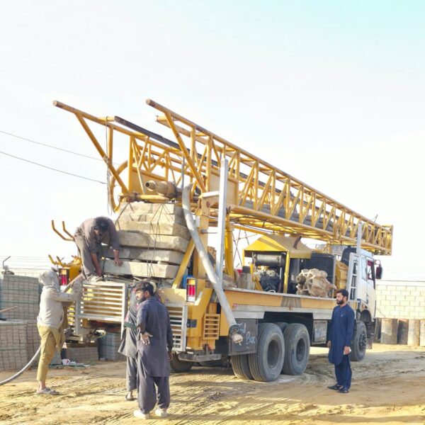
Execution
Our team mobilizes and performs the work with continuous monitoring and quality checks.
Report & Handover
We deliver clear results, documentation, and support to close the project confidently.